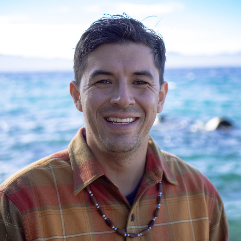
Louis Curson-Mayorga
Session at the Sierra Nevada Tribal Summit 2026
Field visit: Momi' Jokoj' - Running Waters (Raccoon Creek)
Sunday, October 181:30–5:30 pm
On-site learning and discussion; Practice in Place. 1:30–3:00 property tour. Choose a Practice in Place Workshop: (1) Basketry Making with the Parkers (for those staying at the venue, limit 20); (2) Acorn Soup Making with the Stevenots; (3) Art and Natural Pigment Making with Stan Padilla; Flyfish fly tying with Autumn Harry (limit 15); GIS Demonstration with Indigenous Futures Society.
Workshop titles and additional field visit details to be announced.
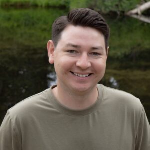 Hayden KochField visit leadYaqui
 Louis Curson-MayorgaField visit leadIndigenous Futures Society
Biography
Louis Curson-Mayorga is a geospatial and cultural heritage professional dedicated to advancing Indigenous data sovereignty and restoring relationships between people and place. As TEK-GIS Integration Specialist for the Indigenous Futures Society, he collaborates with Tribal partners to design secure, culturally grounded mapping systems that bridge traditional ecological knowledge with modern geospatial tools.
Louis holds a master’s degree in archaeology from the University of California, Berkeley, where he studied within the Bear Bones Lab. His graduate research centered on low-impact remote-sensing methods that strengthen Indigenous goals for ecological restoration and cultural continuity. A Chicano from Los Angeles with deep roots in California, he is guided by a lifelong connection to the landscapes and communities that have shaped his work.
Before joining IFS, he served as Cultural Regulatory and GIS Specialist for the United Auburn Indian Community, where he developed the current Tribal Historic Resource Information System (THRIS), a GIS integrating cultural, ecological, and regulatory data across the Sierra bioregion. In that role, Louis gained extensive experience navigating CEQA, Section 106, AB 52 consultation, and NAGPRA, working to align compliance processes with Indigenous values of stewardship, care, and confidentiality.
Louis’ practice is guided by the understanding that mapping is an ongoing conversation between people and the landscapes they inhabit. Within that dialogue lies a powerful capacity for action, where mapping supports community-accountable research, ecological stewardship, and the revitalization of forest health.
When he’s not immersed in mapping or data design, Louis can be found camping, hiking, playing team sports, or enjoying live music & comedy. He remains deeply grateful to the Native communities whose generosity and leadership have shaped his path and continues to dedicate his work to supporting Indigenous agency on the landscape.